Forum Replies Created
-
AuthorPosts
-
 David Webb General Member
New anemometer installed and station is online and back to normal.
April 24, 2021 at 7:41 AM in reply to: Soboba 2021/4/23 – The Worst of Times – The Best of Times #12104David Webb General MemberIt was indeed, 2 completely different days of flying, all in the span of an hour.
After seeing Jerome have the shortest flight I’ve ever seen out of him, my ego got the better of me and thought I could make something happen. Wrong-o. A 3:30 launch followed by 15 minutes of struggling, even with a hawk giving me hand-outs.
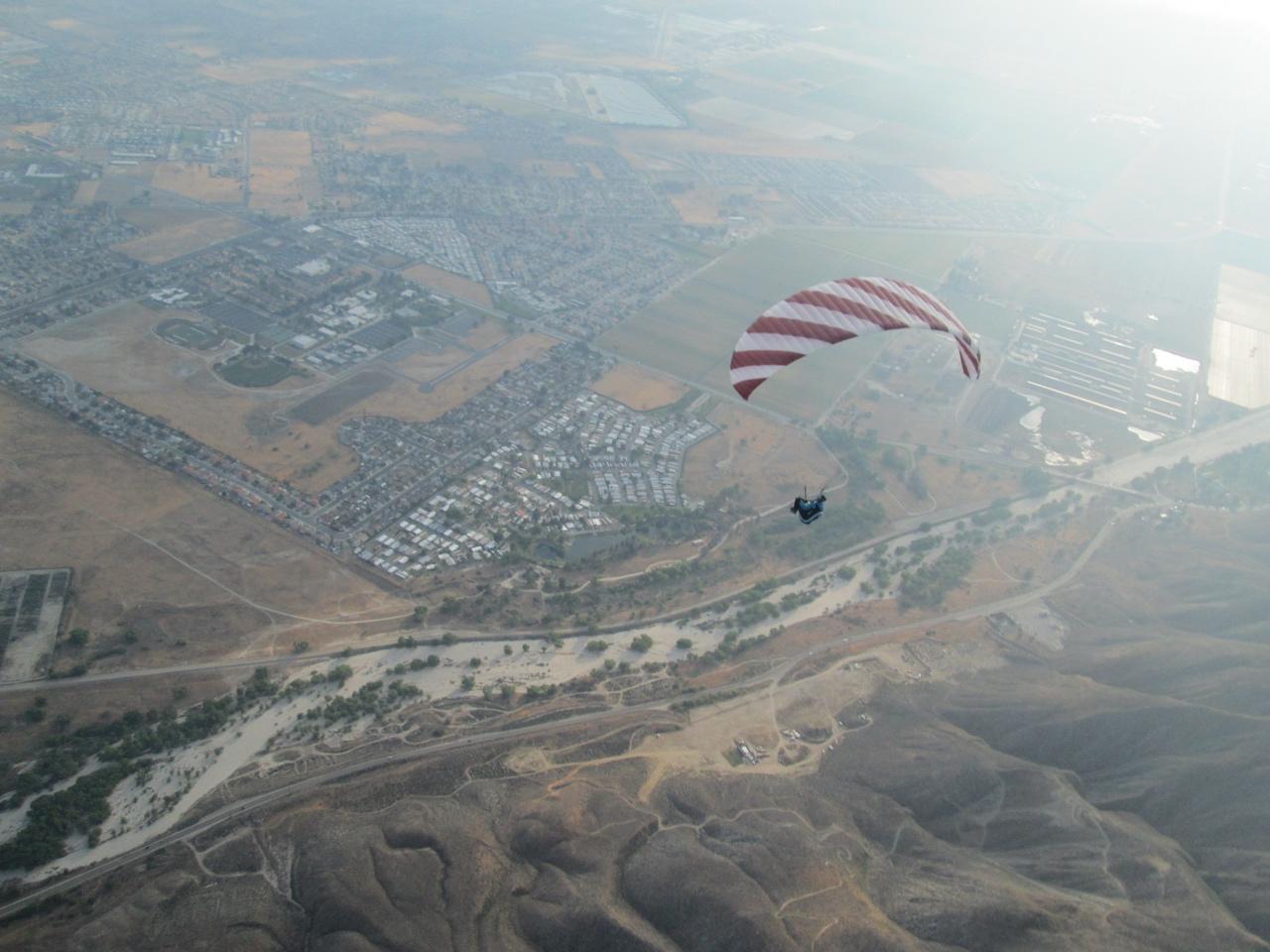
At 4:19, the base winds were steadier and a more consistent direction. Benched up over the towers in smooth lift the whole way. Cloud base was not far away and it was easy to stay there the rest of the afternoon until it started to push down. Was definitely the smoothest air I’ve been in at Soboba, to date. Lift was everywhere.
Hail to the cameramen (Jerome and Stan):
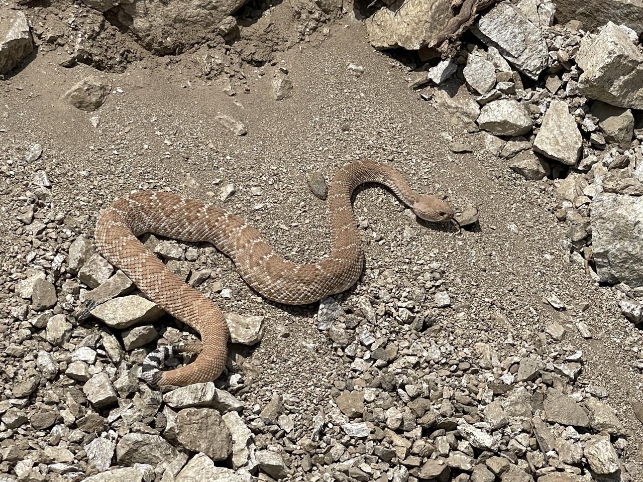
I second Jerome’s idea about adding “working cats” to AJX – the breakdown area had barely a trace of any gopher activity.
David Webb General MemberI rate this repacking person and his fancy setup 5 stars.
David Webb General MemberMark – I definitely could be wrong about the other pictures. It was unknown which bin/shelf that the wing was on, so I opened and took pictures of a few that were possible candidates (unmarked/unpaid, suspicion of last known location, etc). I know less than nothing about hang gliders, so if someone knowledgeable could assist in figuring out which one is his, it would be a huge help.
Should I remove the other pictures above? If you’re fairly sure they are wrong, I can pull them off to reduce confusion.
David Webb General MemberJack – I got an “I think so” about it being a 150. He said he was flying it with a body weight of 165 lbs, but that a look at the placard would be a good idea. I believe someone volunteered to set it up and inspect it.
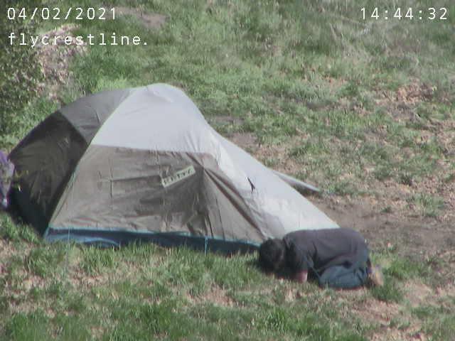
David Webb General MemberAlso looks like the ground summoned forth whatever he had been consuming:
 David Webb General Member
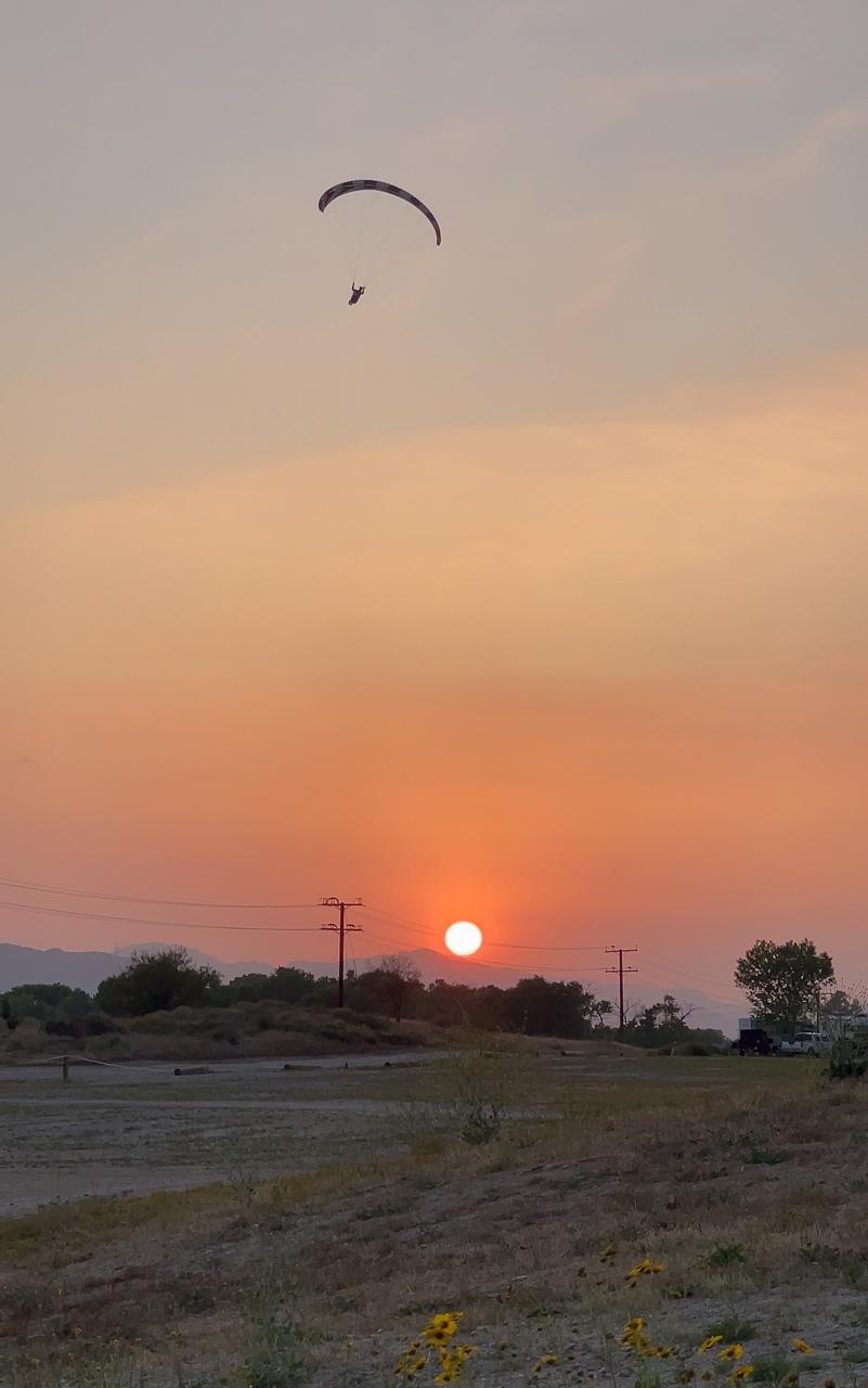
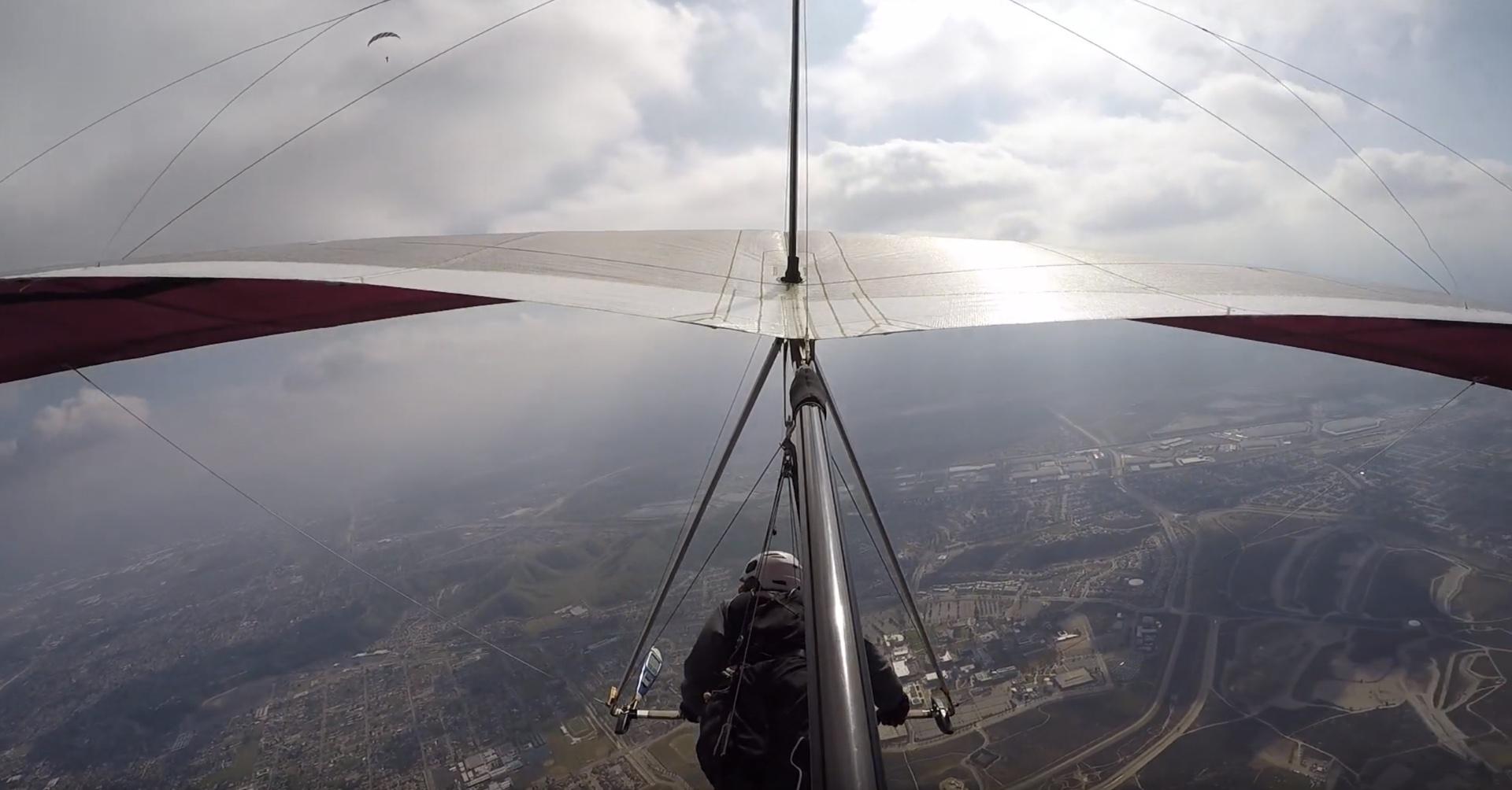
Can confirm the wind trickling over the back most of the day. I pushed back close to the Crestline ridge several times throughout the day and each time the closer I got, the more “off” the air felt. Very buoyant everywhere else and very smooth – the fishbowl was one giant thermal today. I made a weak attempt to follow Jérôme but when I wasn’t seeing lift at Arrowhead, I chickened out and headed back. Was above 6k most of the afternoon and had great climbs out in front. Topped out at 8500’ and flew for 4 hours – my best day of flying yet.
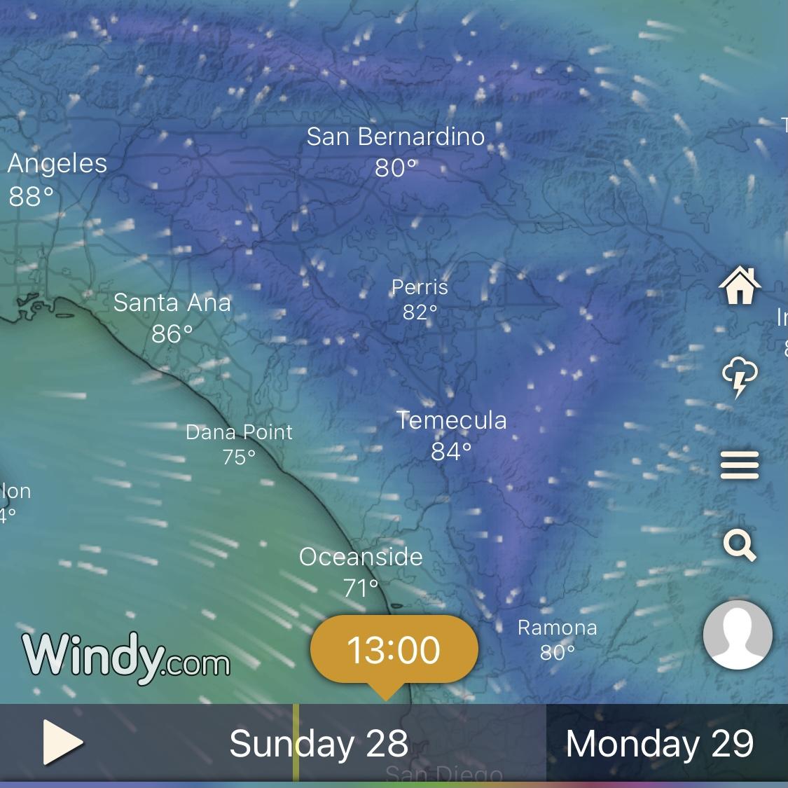
Also – I took this yesterday (looks like the Windy app appropriately called the convergence for today):
 David Webb General Member
New graphs are now live. I appreciate the feedback that I’ve gotten from some of you. Hopefully these are a step forward (I think so). Also – nothing is set in stone, so feel free to post any additional comments/requests here if you think something could be better.
David Webb General MemberCool! You got my good side too.
 David Webb General Member
Thanks for your efforts on those, Alan.
David Webb General MemberClinic was recorded here, for those that wanted to watch but couldn’t make it.
David Webb General MemberYep – 4PM our time (7PM Eastern).
David Webb General MemberThanks all!
David Webb General MemberThe comparisons are great, Alan! Hope it’s not too much effort to keep ‘em coming – would be great to see if any trends emerge.
David Webb General MemberWay to go, Nacho!
-
AuthorPosts