Forum Replies Created
-
AuthorPosts
-
I see the order hasnt been clarified by less ambiguous language.
It doesnt specify residents of any specific area. So, i read it to include any and all. Cant read their minds, only what is written.
Use of USFS lands is what is what is covered by the order. Use of FS lands for launching gliders along with all other uses except accessing private property, are prohibited due to the fact that the launch, or the activity occurs on FS land.
The order covers only FS property noted in Ex. A, not private property and definitely not airspace.
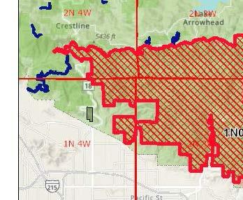
<p style=”text-align: left;”>Just sayin. In case the crime and punishment loyer POleece types start thinking that seeing a glider in the sky constitutes proof of violating the order.</p>Look at the map?
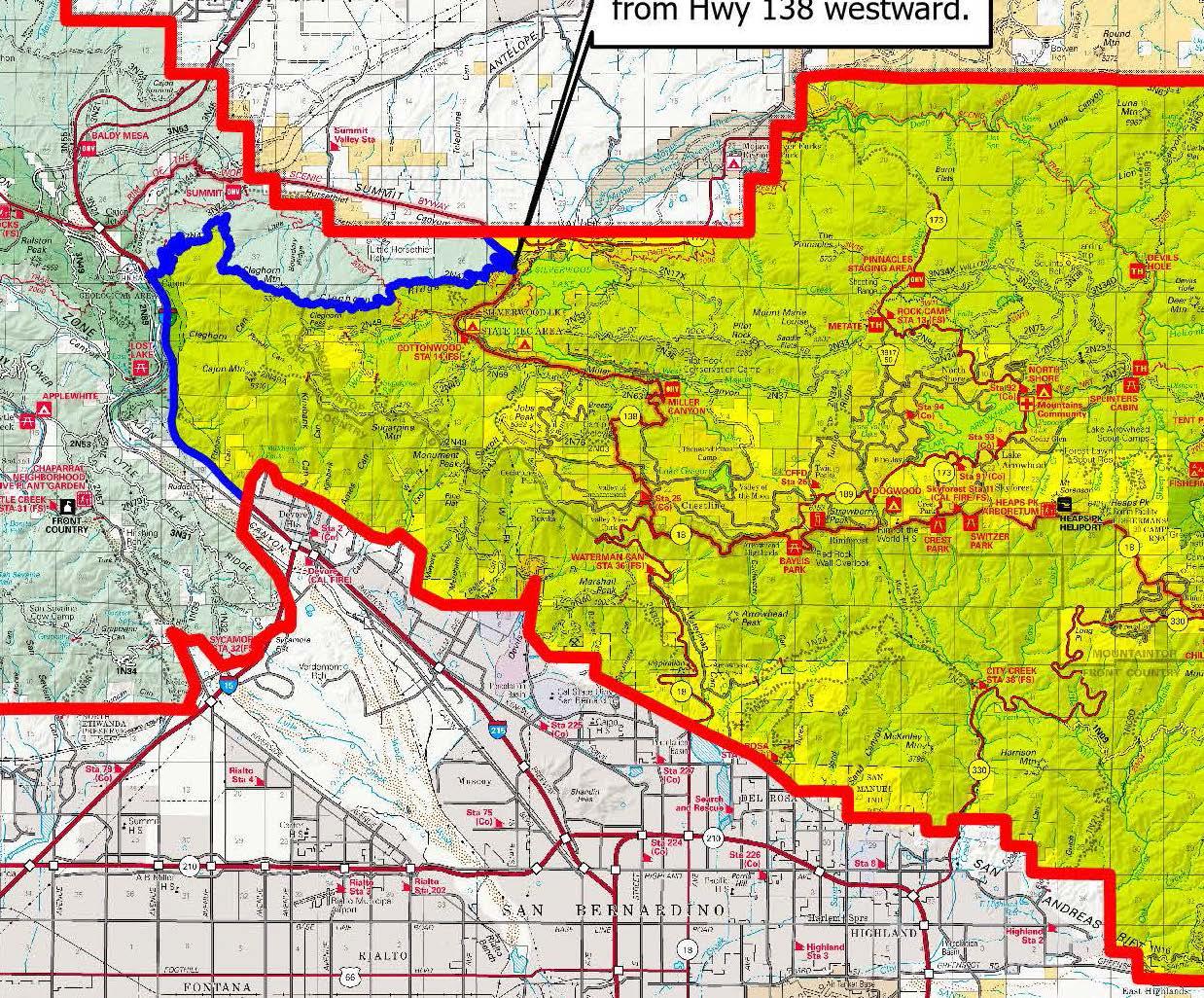
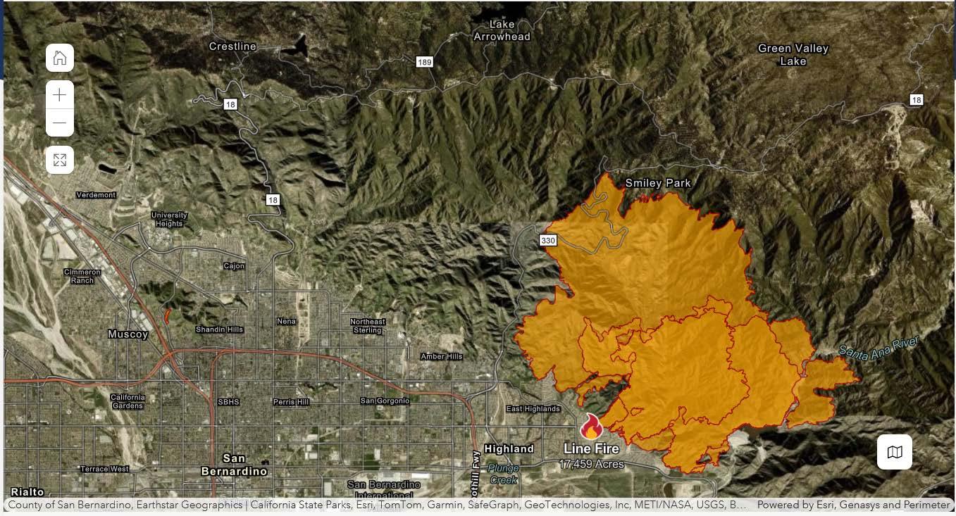
your links refer 2 different orders with 2 different maps. ORDER NO. 05-12-00-24-09 is the most recent and more restrictive. The order from Sept 8 had the closure boundary at hwy 18. It is now all the way to I 15.


Gene’s got his mind right. Got his dirt outa boss’s yahd.
maybe the BOD’s crime and punishment committee can meet with their handlers to review the sentence and grant a parole hearing or something. Gene seems to be cured and Max is out of sight.
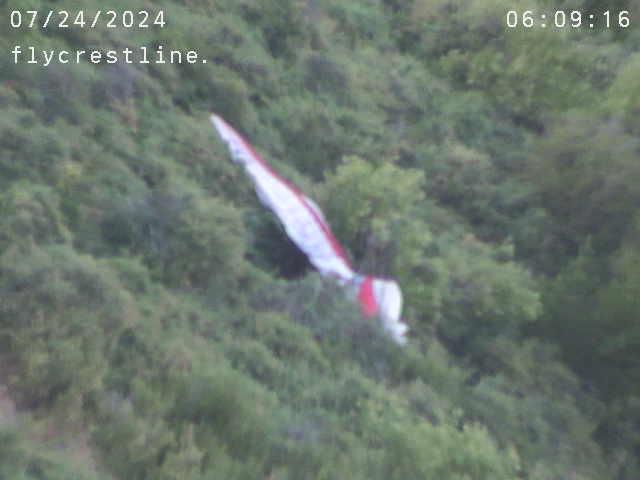
So can it be considered abandoned? 5 days and no retrieval. Put it on offerup?

This discussion is how one attempts to wring out the facts Jerome. Tom asked a valid question.
Linda sullies the discussion in her usual fashion by berating the previous board. Secretary says I’m misinformed. Fact of the matter is, the membership is uninformed.
Im a contractor, so yes a fence is a no brainer. I had a hand in building the shade structure, remember? Maybe before your time. A long ago conversation with a ranch guy mentioned a fence around the pond. Maybe its more now. Maybe just another reason to say “we cant”. I dunno. Not much info flowing out these days.
Seems to me there is more drowning exposure now than ever before. No gate, no fence, no eyes on the path there. There must be some sort of rationale behind those choices. Fair enough.
The fence issue has been known for what? 3 years now? If they wanted one, there’d be one.
No fence, no insurance policy, no pond.
Linda substitutes her opinions for facts. There was a vote on the shade structure. AND it is completely allowed under the terms of the lease. FACT.
Makes me think of Jane Curtin and Dan Akroyds Weekend Update.
No soup for you, Tom.
For want of a preflight, the life was lost.
Again, that hollow adage, “died doing what he loved” gets lobbed around.
Pretty sure he’d a rather gone home for dinner.
Make it home for dinner.
Blackhawk aint green circle/everyone gets a trophy flying like Marshall Crestline. It does, however, give up some fabulous flights often the same day the other side of the mountain is handing out scraps of same ol’ low and murky.
Reminder. Dont be that guy.
Coming back toward landing field from east points Thursday 3pm ish, 8k over cloud pk., looking north for the glint of aluminum. None to be seen. Did, however see a pg behind BB quarter mile or so, pointed SSE, also around 8k, not turning noticeably, ambling slowly into the headwind. Dont know who it was, dont care. Wonder if he was just lingering around, ignorant of where he was? Not looking behind for 40 tons of aluminum enema. Taking selfies, oblivious? Hangin out just waiting to be “that guy”.
-
AuthorPosts
