Forum Replies Created
-
AuthorPosts
-
CSS isnt the only chapter to choose alternate or even no coverage in lieu of RRRG.
I think they forgot who works for whom. The mission statement too, like FFF did.
Long ago there was a theft of a couple unsecured gliders and solar panels from the LZ.
With zero proof, this guy goes and assigns blame on a disgruntled member
stating, “It had to be him”. His explanation was only that he thought this guy had
motive by virtue of him being a disgruntled member. I pointed out that motive in itself doesnt constitute proof by any measure.
I was told a while back that Gene was an acceptable tenant and considered a caretaker
of sorts. Now it turns out thats not accurate and his living there was some sort of code violation.
Im not a county statute enforcer nor a statute sympathizer by any stretch, but seems to me like its
a risk you take if you violate ordinance, petty or not. While back a county inspector shows up
while we were setting up forms for the shade structure. Said he got a call about non permitted construction happening. I could have leveled some accusations and got some drama stirred about snitches and all, but absent proof its nothing but gossip and mudslinging.
Luke
Your dream team needs a name.
The Yes Men? The Aquarians?
Sorry couldnt resist.
Just read my post again Linda. Slowly. Watch the video again.
On an aside, Are you going to be in this area for the summer months? During events season?
Id rather hear of the events you plan on orchestrating this year should you be elected. Will it be a rerun of 2021, the year you held this position?
Mario,
Its amazing to see so many with the ability to see exactly what the future holds. You presume the board doesnt have the the facts or the clubs future in mind. Wrong. Fact is, everyone wants the same thing. The problem is getting agreement on a long term solution.
I think this deal has run its course. Time to reconstruct the arrangement away from “Status quo or we’re selling to the developers” Shield the property from sale legally and put the threats of sale to bed. It seems improbable that the ranch principals could be so willing to abandon ship. I like to think not.
Certainly theres a solution where the dog doesnt die.

18 was reopened to residents only 4pm yesterday / monday 6th.
Its difficult traveling around up here. Loaders are clearing side roads one bucket wide. 8ft. Berms are high everywhere. i made it to launch yesterday 930am or so to check the webcam at the tower. Snowdrift as high as the fence. walked right in. Climbed up to stand up the webcam stand and found out the rod holding it was bent and pulled out by the load of rime and wind. when it warms up a tad will cut out the old and replace. A bulldozer came down playground from paivika just beforew we left. Told him he could clear the parking lot to make some space if he needed some place to park machines. The launch sign is poking out above the snow in the second picture. bring a shovel
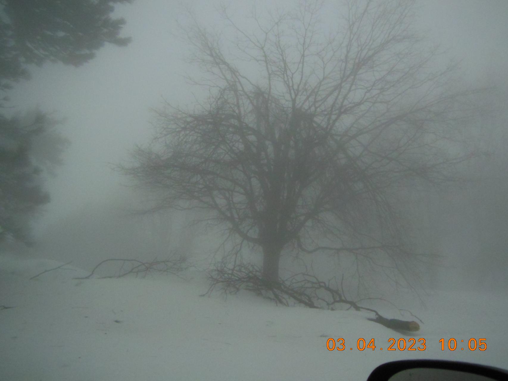
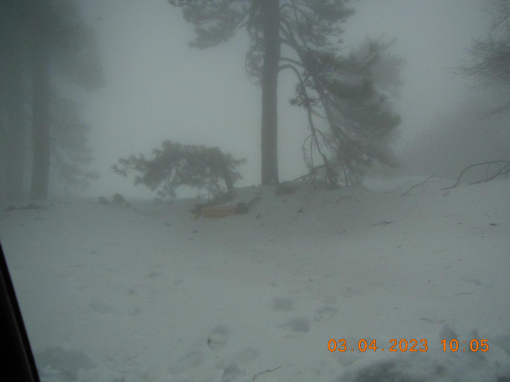
CSS / Ranch agreement is going to be renegotiated over the coming weeks with an emphasis on a path to club ownership and subsequently shielding the property from sale for as long as the flying site exists.
you dont need a PhD to know which way the wind blows.
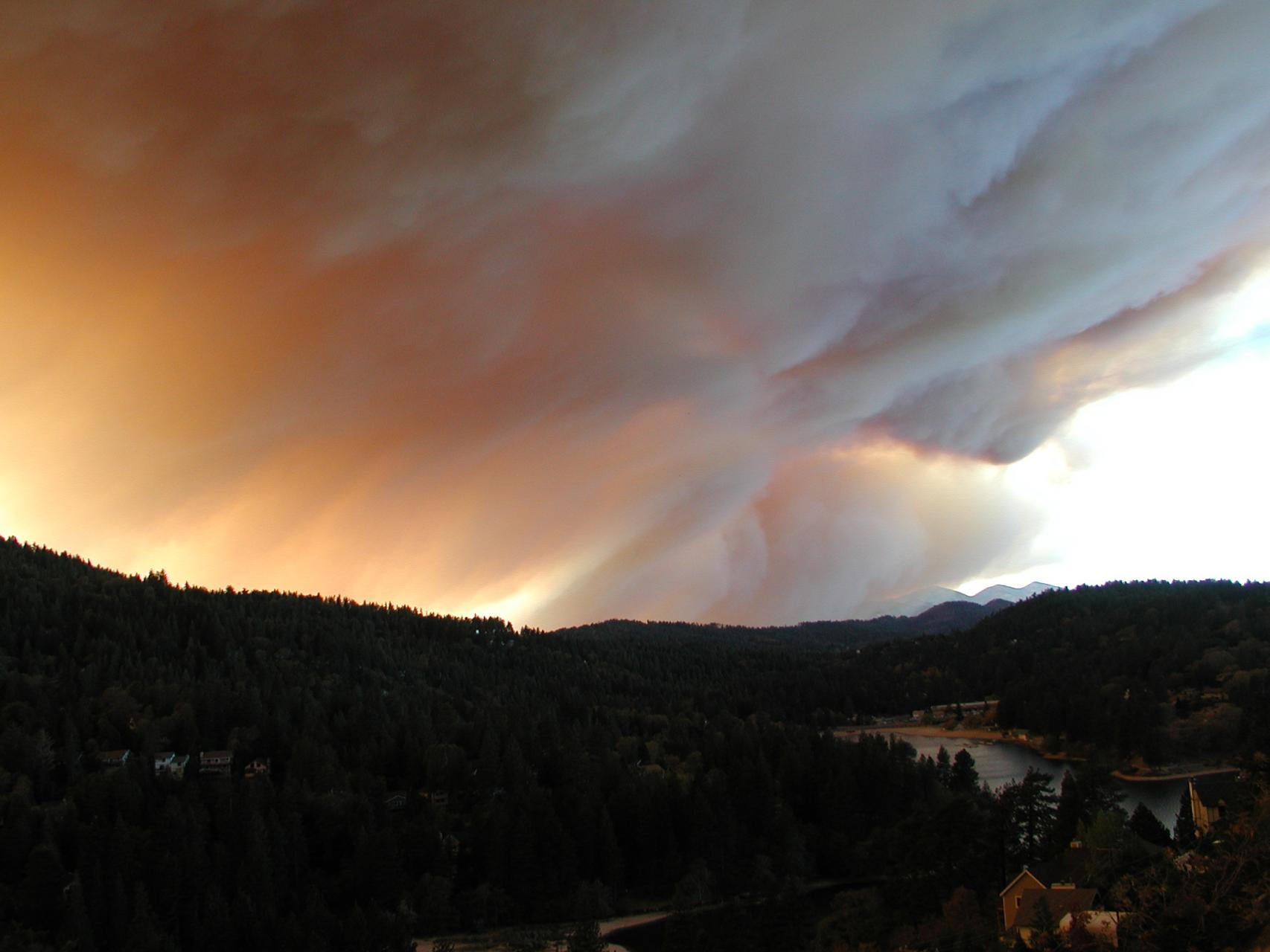
Youre in the lee of a hill and surrounded by trees. Makes for a strong wind gradient. Reminded me of a fire back Oct 07 started at the substation just north of you by a tree into powerlines arcing in a 60+ mph NE. Started at 5am. By 1130 it ate 195 homes. Im just downwind another 2 miles and theres a solid column of smoke all day moving SW. Winds are so high they wont fly the tankers. We’re outside clearing branches and checking the garden hose ready to defend our hut. I’m all the while thinking, “Where are the planes?” as the winds subsided a bit around 4pm I hear the whine of the red bellied 707 and see it low, slow and northbound. What a welcome sight. Went driving around to check things out, copters picking up water from the lake, leading edge of the fire crawling down to Dart canyon. Caught this pic on day 2 of the smoke making its way over the ridge toward the Pacific. When they say “It’s blowing down”, It really is.
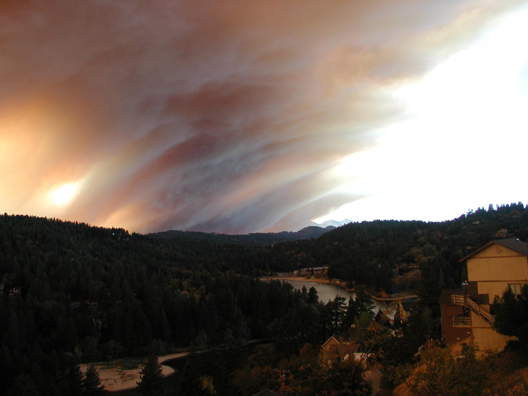
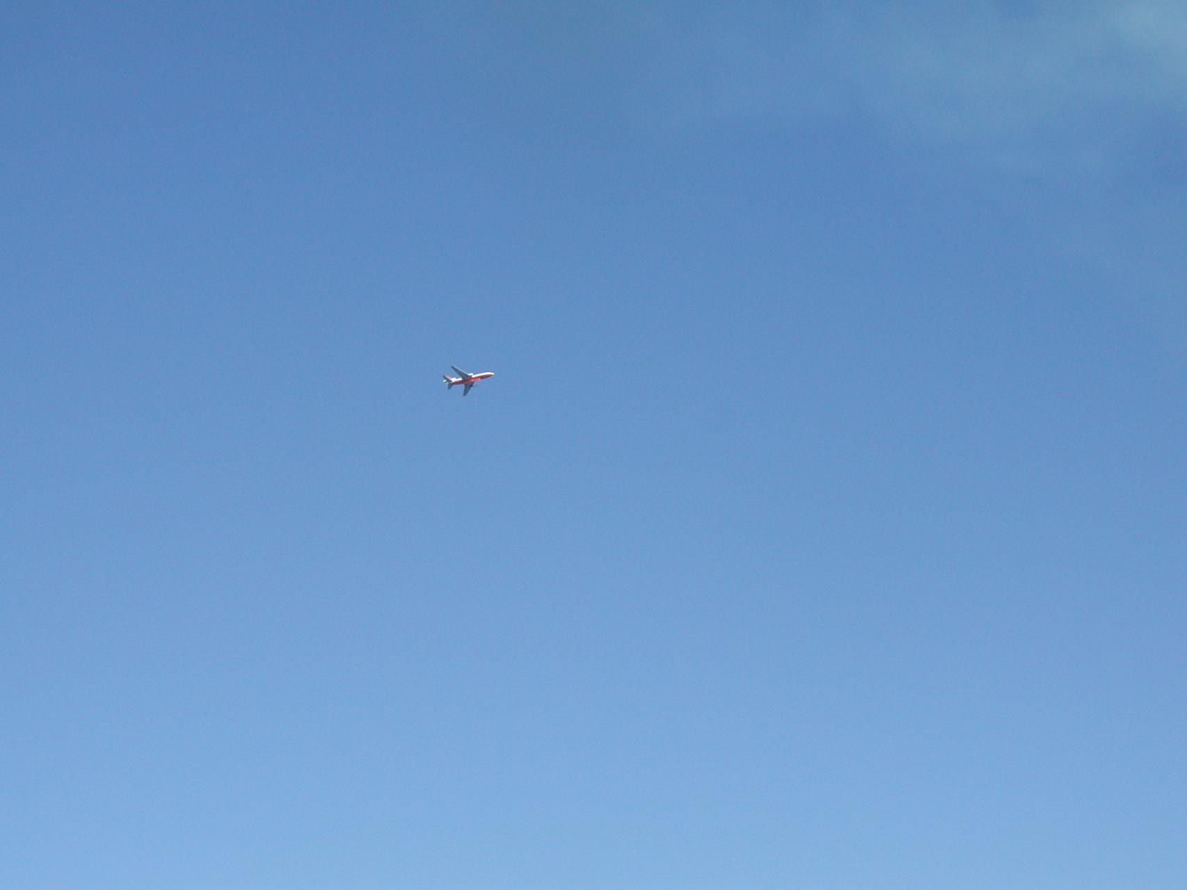
We (As in Tim and I) are going to move the artificial back about 20ft and throw some rye grass seed to get that area of grass going again. We’ll put stake and ribbon up too so please dont walk over the seeded area. Gotta get our green on now that the heat has headed south.
Is it time for a search warrant and raid?
Accident reports? Where do they go when submitted to the USHPA?
Where is the narrative, the story, shared with the tribe?
-
AuthorPosts